EAST HARDWICK, Last week’s oppressive heat and humidity brought record-tying temperatures to Montpelier, with highs of 90 and 92 degrees on July 2 and July 1 respectively, according to the National Weather Service. Locally, temperatures reached about 91 degrees in Hardwick, with heat indices pushing 100 both days. Rainfall of 0.39 inches was recorded, mostly from evening showers and thunderstorms on Wednesday. Tree damage from a severe thunderstorm was reported along Town Hill Road in Wolcott.
Cooler air arrived over the weekend and persisted into the work week. A storm system to the south kept temperatures in the upper 70s to low 80s. A frontal boundary approaching from the St. Lawrence River Valley is expected to bring scattered showers and thunderstorms Thursday afternoon, with steadier rain Friday. After the front passes, high pressure will bring sunny skies and seasonable temperatures for the weekend, with dewpoints in the low-to-mid 50s and comfortable humidity.
Forecast details: Wednesday mostly sunny, high 84, low 60. Thursday mostly sunny with increasing clouds and scattered showers and thunderstorms, high 85, low 62. Friday mostly cloudy becoming partly sunny with showers likely in the morning, high 78, low 55. Saturday sunny, high 78, low 56. Sunday sunny, high 83, low 58.
Originally reported by Hardwick Gazette.
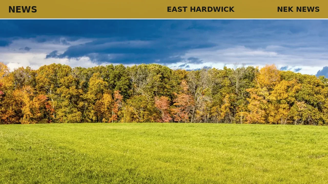
Photo: Mohan Nannapaneni via Pexels. Photo is illustrative and not from the scene.



Log in as a subscriber to comment, or become a member.