
EAST HARDWICK, A cold front approaching from the Great Lakes is expected to bring heavy rain and thunderstorms to the area on Thursday, with localized flash flooding possible, according to the Hardwick Gazette weather report.
Wednesday evening saw parts of Hardwick west of the village into Wolcott receive up to four inches of rain by radar estimate, causing flash flooding that closed some local roads. The intense rainfall was not captured by official rain gauges, which recorded roughly one and a half to two inches region-wide for the week.
Montpelier set a record high of 89 degrees on June 12, breaking the 1949 record of 88. The overnight low of 67 was the warmest minimum since 1979. A series of cold fronts late Friday and Sunday cleared the humidity, dropping temperatures into the upper 60s and low 70s on Monday.
The forecast calls for cooler conditions through the weekend as an upper-level system over Hudson Bay pushes disturbances into the region. Thursday is the main day to watch, with a stronger front bringing showers and thunderstorms, gusty winds, and heavy rain. Highs will reach the low 70s, with southeast winds 10-15 mph and gusts to 25 mph. Scattered showers are expected each day Friday through Sunday, with highs in the 60s.
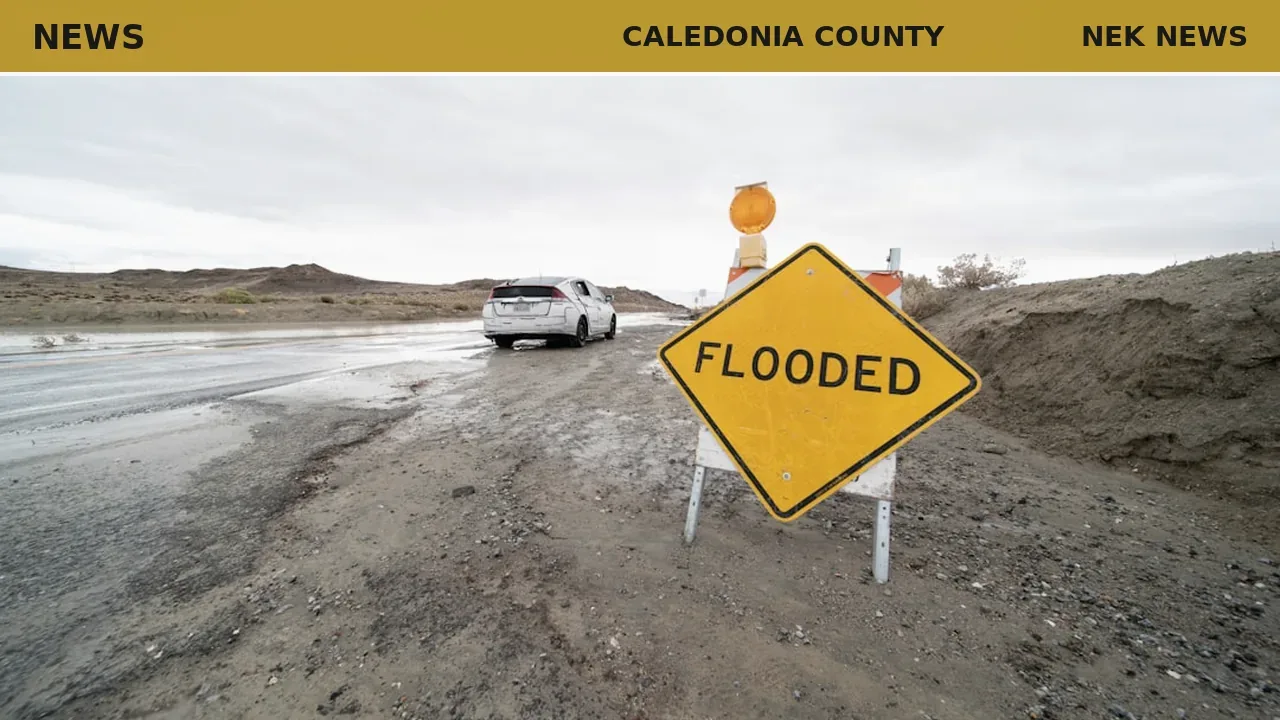
Photo: Avi Waxman via Unsplash. Photo is illustrative and not from the scene.


Log in as a subscriber to comment, or become a member.