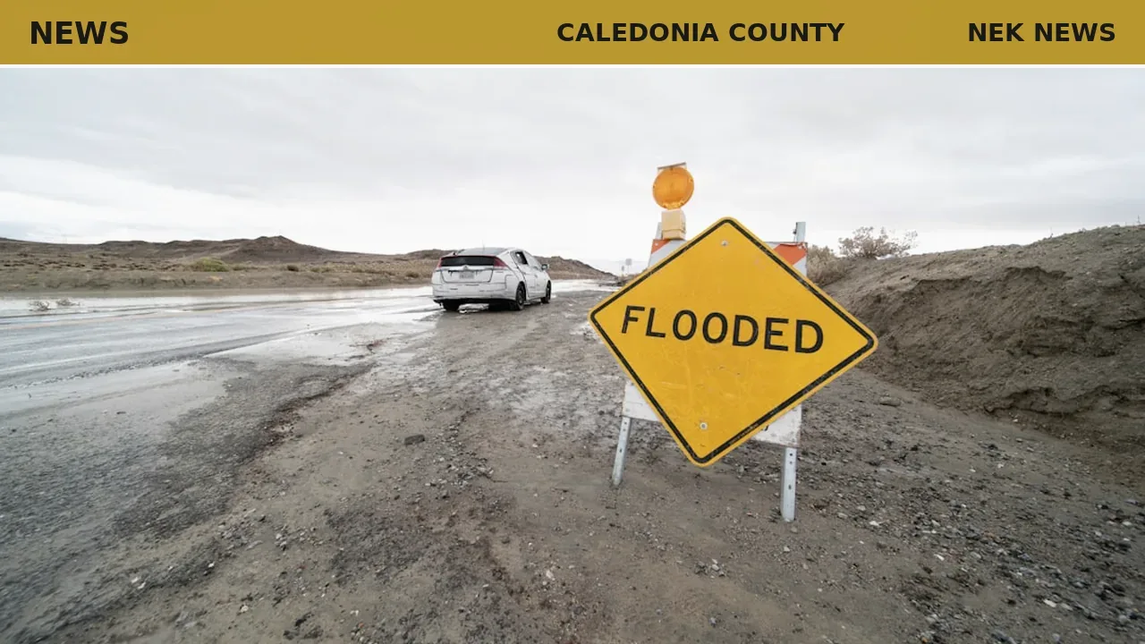
Wednesday evening thunderstorms dumped nearly three inches of rain on Hardwick and Wolcott, triggering a flash flood warning for parts of Caledonia and Lamoille counties that lasted into the night, according to the National Weather Service.
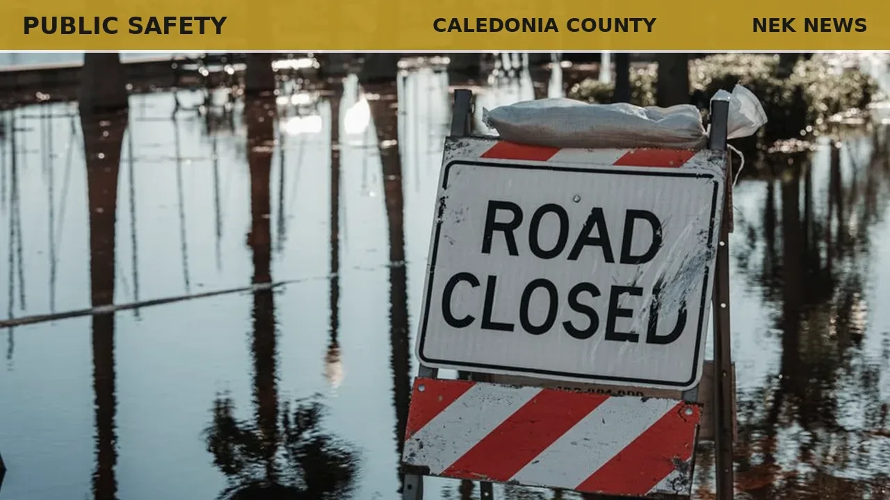
Hardwick Police Chief Michael Henry said the flooding was relatively minor. The rain washed out a culvert and damaged Bunker Hill Road. Damage was limited to a few roads, and crews made repairs by Thursday, he said. No residents were evacuated, and state emergency crews did not mobilize.
The storms opened what is typically Vermont’s most flood-prone stretch of the year. State police said they were also monitoring a heat wave that followed. The National Weather Service issued heat advisories down the western side of the state, from St. Albans to Bennington, with heat index values forecast to approach 100 degrees in some areas.
Eric Forand, director of Vermont Emergency Management, said his office was watching both threats. “We were looking at both the potentials for severe thunderstorms and what that may cause on the flooding side,” he said, adding that the state was also coordinating with the Vermont Department of Health on cooling center announcements.
The Burlington city government urged residents to take precautions against heat illness, offering cooling resources at municipal buildings as temperatures reached the 90s.
Forand noted that his department stays ready year-round. “Mother Nature seems to do whatever she wants,” he said.
Originally reported by VTDigger via the Hardwick Gazette.
Photo: Brian Wangenheim via Unsplash. Photo is illustrative and not from the scene.


Log in as a subscriber to comment, or become a member.