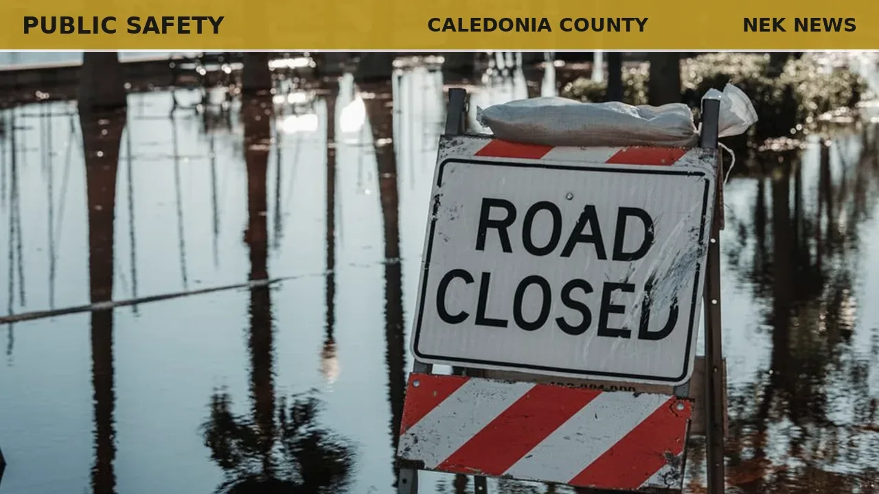
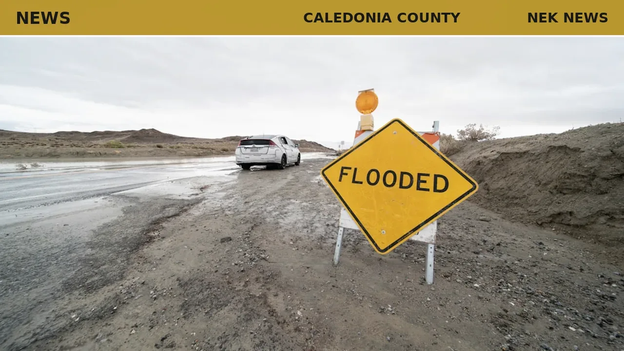
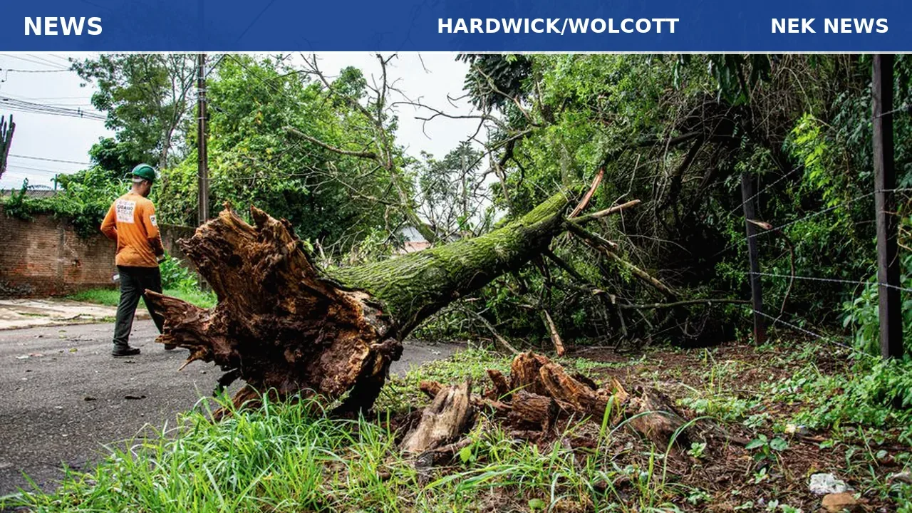
Vermont's flood season opened this week with thunderstorms dumping nearly 3 inches of rain in the Hardwick and Wolcott area Wednesday evening, according to the National Weather Service. The flash floods, mostly minor, affected parts of Caledonia and Lamoille counties.
Hardwick Police Chief Michael Henry said the rain washed out a culvert and damaged Bunker Hill Road. He characterized the flooding as relatively minor and said repairs were completed by Thursday. No residents were evacuated, and state emergency crews did not deploy, said Eric Forand, director of Vermont Emergency Management.
Meteorologist Adrianna Kremer of the National Weather Service in Burlington said a large mass of humid air from the Gulf of Mexico has settled over the Northeast, bringing the potential for more thunderstorms through the weekend. A flash flood warning was issued Wednesday night for parts of the two counties, Kremer said.
Following the storms, high temperatures have triggered heat advisories along the western side of the state, from St. Albans to Bennington, with Burlington's heat index approaching 100 degrees on Friday. Burlington city police have opened cooling centers at City Hall and the Fletcher Free Library.
Forand noted that his office is monitoring both the storm and heat risks. “Mother Nature seems to do whatever she wants,” he said.
Originally reported by VTDigger.
Photo: Connor Scott McManus via Pexels. Photo is illustrative and not from the scene.
Log in as a subscriber to comment, or become a member.