
The National Weather Service in Gray, Maine, issued a severe thunderstorm warning for southeastern Grafton County in New Hampshire, along with parts of Belknap and Carroll counties. The warning is in effect until 10 p.m. EDT.
At 8:56 p.m., radar indicated a severe thunderstorm about 8 miles north of Holderness, moving east at 50 mph. The storm carries 60 mph wind gusts and quarter-size hail, which can cause damage to vehicles, roofs, and trees.
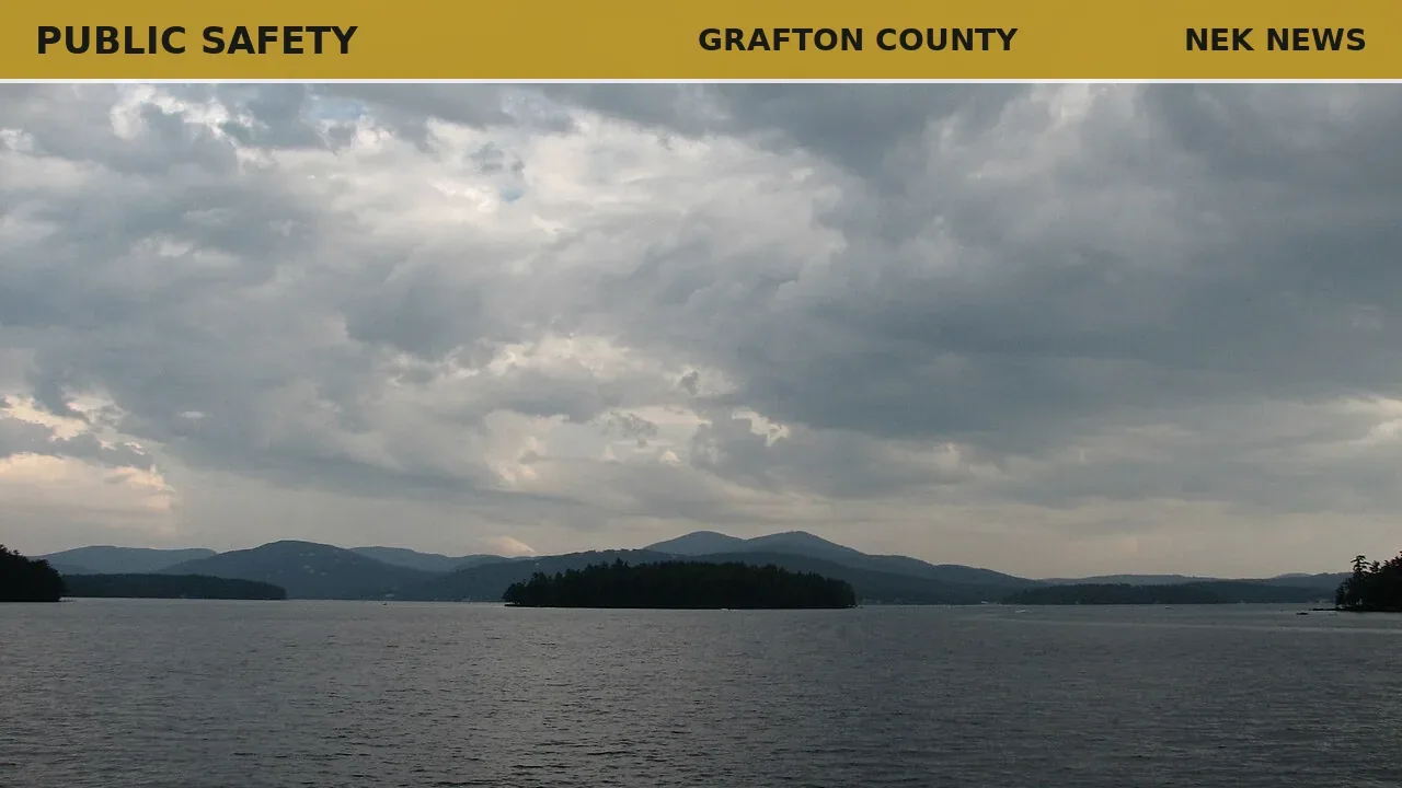
Affected locations include Laconia, Conway, Fryeburg, Lincoln, Moultonborough, Plymouth, Meredith, Ossipee, Holderness, Ashland, Effingham, Groton, Woodstock, Wolfeboro, Tamworth, Sandwich, Gilford, Bristol, Bartlett, and Madison. The warning also covers portions of Interstate 93 between mile markers 71 and 102, as well as areas around Lake Winnipesaukee, Rumney Rocks, Squam Lake, Mount Chocorua, and Mount Whiteface.
The NWS advises residents to move to an interior room on the lowest floor and to remain alert for possible tornadoes, as tornadoes can develop quickly from severe thunderstorms.
Photo: Kimon Berlin (Wikimedia Commons, CC BY-SA 4.0). Photo is illustrative and not from the scene.


_cropped.jpg)
Log in as a subscriber to comment, or become a member.