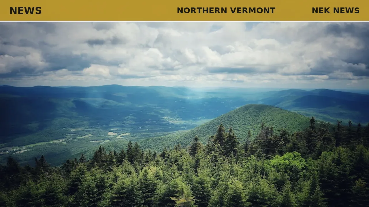
Tuesday morning brought partly to mostly cloudy skies and scattered showers across southern Vermont and New Hampshire, with temperatures mainly in the 60s. Showers were expected to taper off by mid-afternoon, giving way to gradual clearing. Lows overnight will drop into the 60s with patchy dense fog possible.
Wednesday will bring a brief ridge of high pressure, pushing temperatures into the upper 80s to low 90s across the region. Dew points will remain in the 50s to low 60s, keeping humidity tolerable. Overnight lows again in the 60s under mostly clear skies.
Thursday will start sunny, but clouds will increase by midday ahead of a new storm system. Scattered showers, downpours, and isolated strong storms are possible in the mid to late afternoon. Highs will again reach the low 90s, with heat indices approaching the mid to upper 90s.
Rainfall totals through Wednesday are expected to average a quarter to half an inch in southern Vermont and New Hampshire, with up to a tenth of an inch in the North Country. An additional quarter to half an inch is possible with Thursday's system, with locally higher amounts in heavier downpours.
Originally reported by MyChamplainValley.
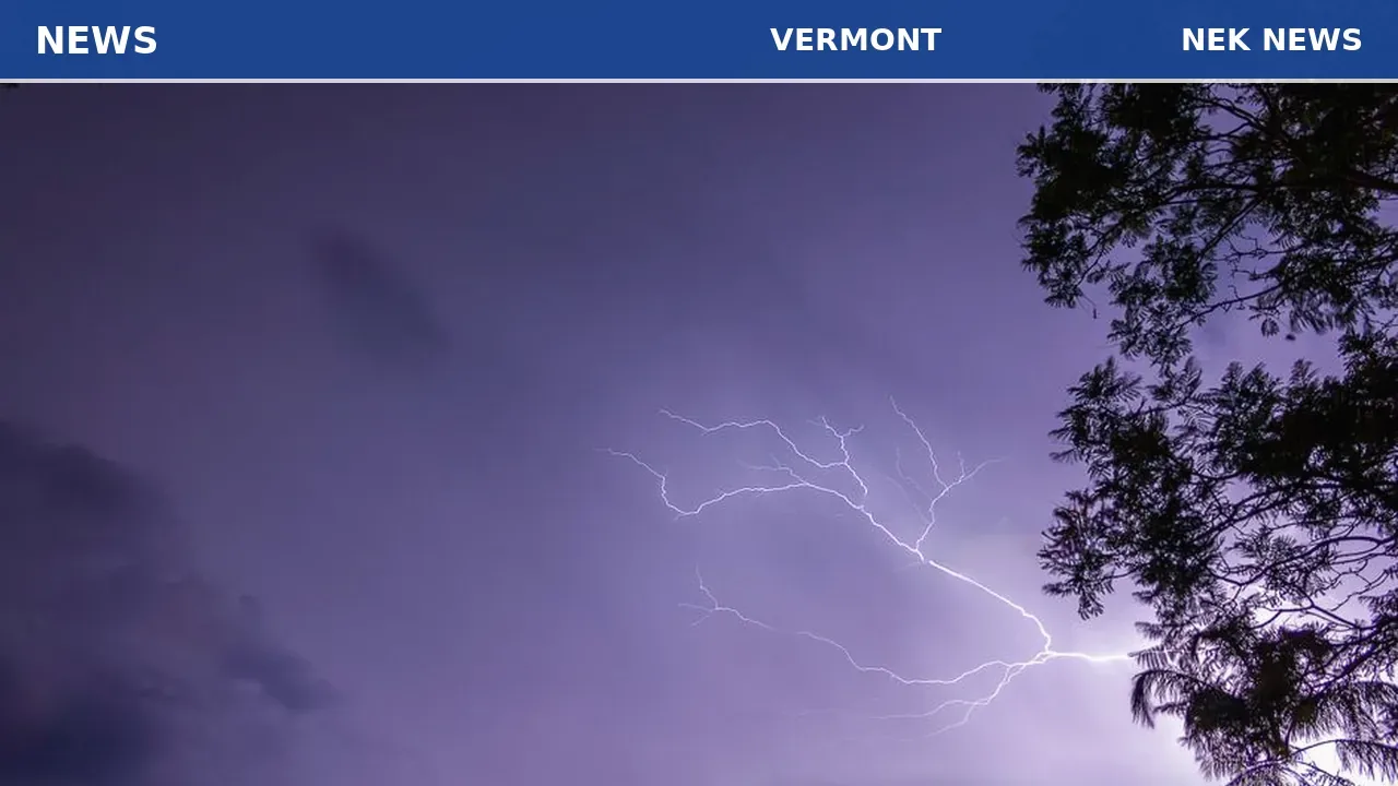
Photo: Brian Urso via Unsplash. Photo is illustrative and not from the scene.
Log in as a subscriber to comment, or become a member.