A hot and humid airmass will keep Vermont and the North Country muggy through Friday, with daily chances for downpours and thunderstorms, according to the National Weather Service.
Scattered storms are possible through Thursday night, with lows in the upper 60s to near 70. Thursday will bring partly cloudy skies and highs in the low to mid 80s, with isolated afternoon storms. Humidity will remain high overnight, with temperatures staying in the 70s.
Friday is expected to be the hottest day, with widespread highs in the mid 80s to low 90s and heat index values in the upper 80s to mid 90s. A Heat Advisory is in effect for the Champlain Valley, Rutland area and Connecticut River Valley from noon to 8 p.m. Friday. Strong to severe thunderstorms are possible Friday afternoon and evening as a cold front moves in, bringing heavy rain, lightning, damaging winds and hail.
Conditions improve Saturday with lower humidity and highs in the low to mid 80s. Sunday will be slightly cooler with a chance of late-day showers. Next week starts cooler, with highs in the low to mid 70s and overnight lows in the 50s.
Originally reported by WCAX.
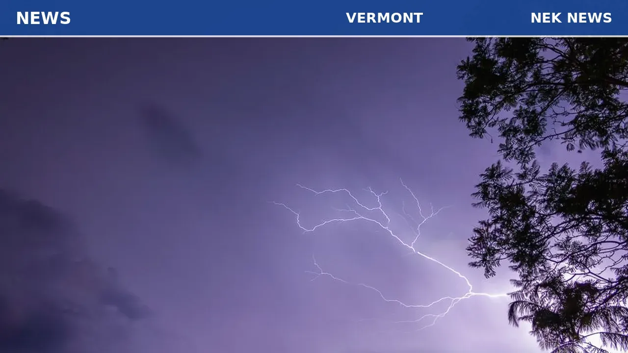
Photo: Stuart Robinson via Pexels. Photo is illustrative and not from the scene.


Log in as a subscriber to comment, or become a member.