
An extreme heat wave continues across the Northeast Kingdom and surrounding areas, with July 2 expected to be the hottest day. High temperatures will reach the 90s, and humidity will push heat index values into the upper 90s to 105 degrees. Light, loose clothing and plenty of water are advised.
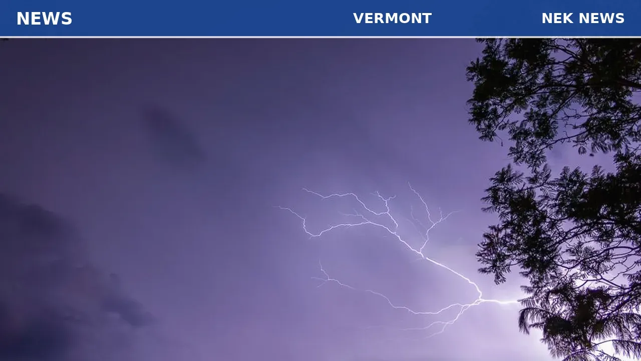
In the afternoon and evening, a boundary moving through will bring a marginal risk of strong to severe thunderstorms. The main threats include torrential downpours, damaging wind gusts over 55 mph, frequent lightning, small to medium hail, and a low chance of a localized tornado. Residents should monitor the sky and seek shelter when thunder roars.
Overnight conditions will remain uncomfortable, with lows in the 70s. Friday afternoon and evening may see another round of scattered severe storms. Storms are expected to clear in time for the July 3 fireworks show at the Burlington Waterfront, and a northwest breeze Saturday afternoon should bring drier air for Fourth of July fireworks.
Originally reported by MyChamplainValley.
Photo: Ganapathy Kumar via Unsplash. Photo is illustrative and not from the scene.


Log in as a subscriber to comment, or become a member.