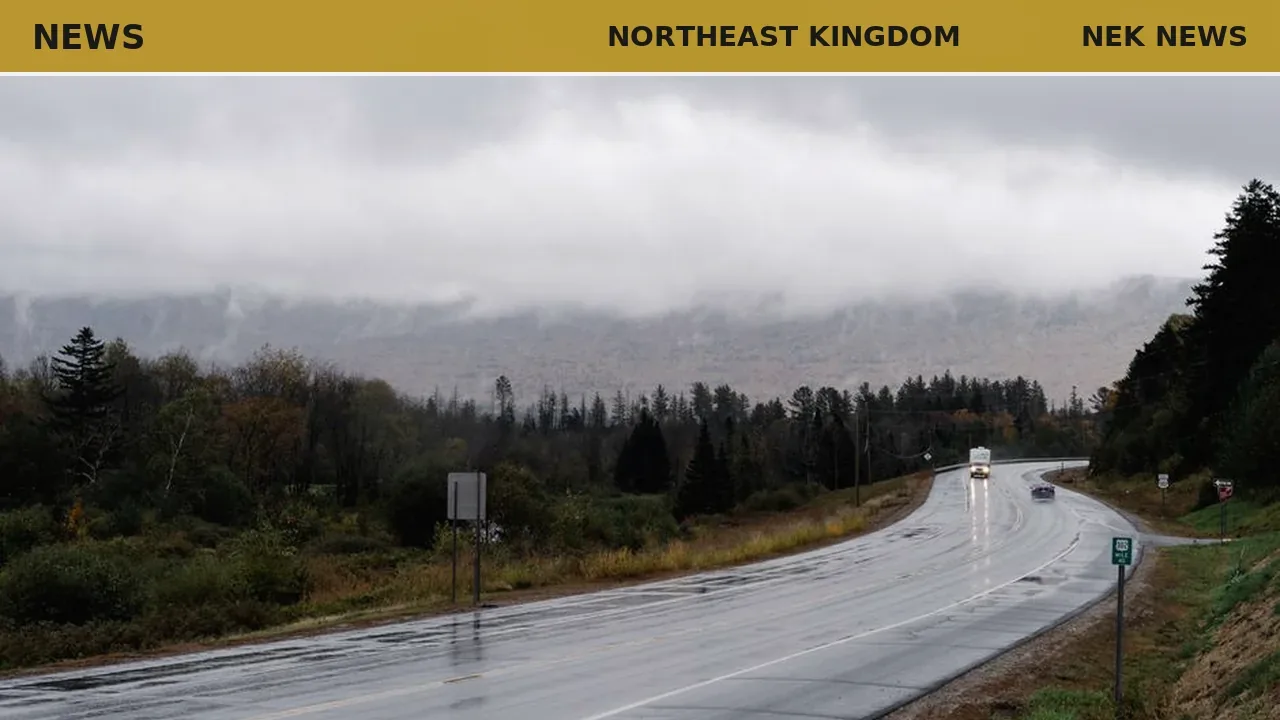
Showers are expected to increase across the Northeast Kingdom later Thursday afternoon and continue through the overnight, according to a forecast from MyChamplainValley. Highs will reach the upper 70s to low 80s with higher humidity than Wednesday. Isolated downpours and southwest winds are likely, with low visibility possible during heavy rain. Lows will fall into the 60s by Friday morning.
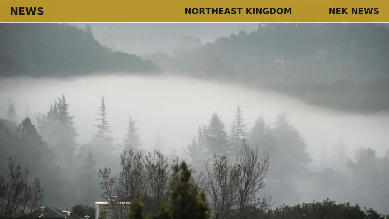
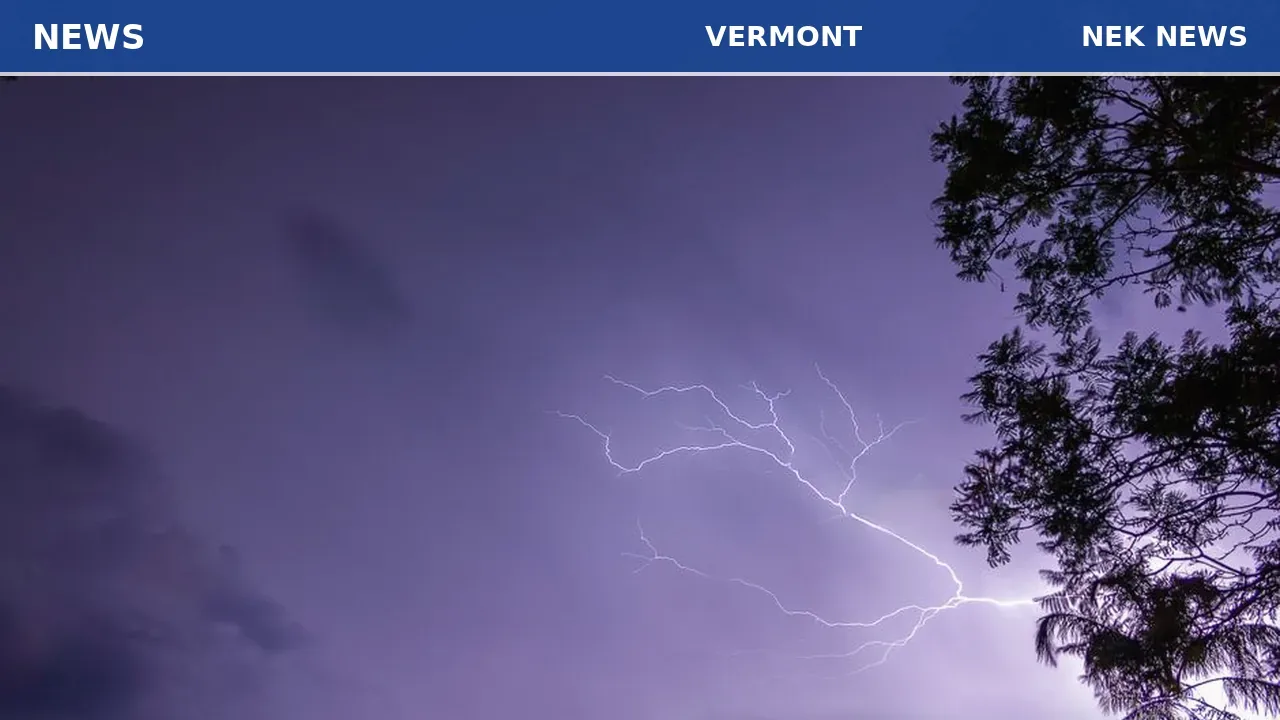
Friday will remain unsettled with scattered showers and downpours, but breaks of sunshine could fuel strong to severe storms between noon and 7 p.m. West-northwest winds may gust up to 20 mph, and drier air moving in by evening should end the storm threat. Lows will drop into the 50s to low 60s Saturday morning under partly cloudy skies and patchy fog.
Saturday offers a chance of a spot shower, mainly over higher terrain, with highs in the upper 70s to low 80s and a mix of sun and clouds. Conditions will dry out late in the day and overnight, with lows again in the 50s to low 60s. Sunday is expected to be the best day of the weekend with warmer, drier weather and sunny skies.
Total rainfall will average up to half an inch; no flooding is anticipated.
Originally reported by MyChamplainValley.
Photo: David Yu via Pexels. Photo is illustrative and not from the scene.


Log in as a subscriber to comment, or become a member.