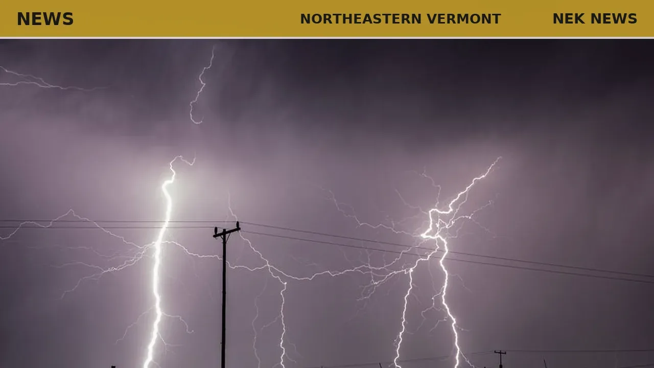
The National Weather Service in Burlington issued a severe thunderstorm warning for parts of northeastern Vermont on July 9, effective from 4:26 PM until 5:15 PM EDT. The warning covers northern Lamoille County, west central Caledonia County, southwestern Orleans County, and southeastern Franklin County.
At 4:25 PM, radar indicated a severe thunderstorm over East Fairfield, moving east at 40 mph. The storm poses a hazard of 60 mph wind gusts and quarter-size hail. Minor hail damage to vehicles is possible, and wind damage to trees and power lines is expected.
Locations in the path include Orleans, Greensboro, Johnson Village, Eden, Bakersfield, Orleans Village, Cambridge Village, Glover, Albany, Jeffersonville Village, Hyde Park, Fairfax, Greensboro Bend, Belvidere Center, Belvidere, Waterville, Irasburg, Johnson, Albany Village, and Lowell. Interstate 91 between mile markers 156 and 163 is also affected.
Residents are advised to move to an interior room on the lowest floor of a building until the storm passes.
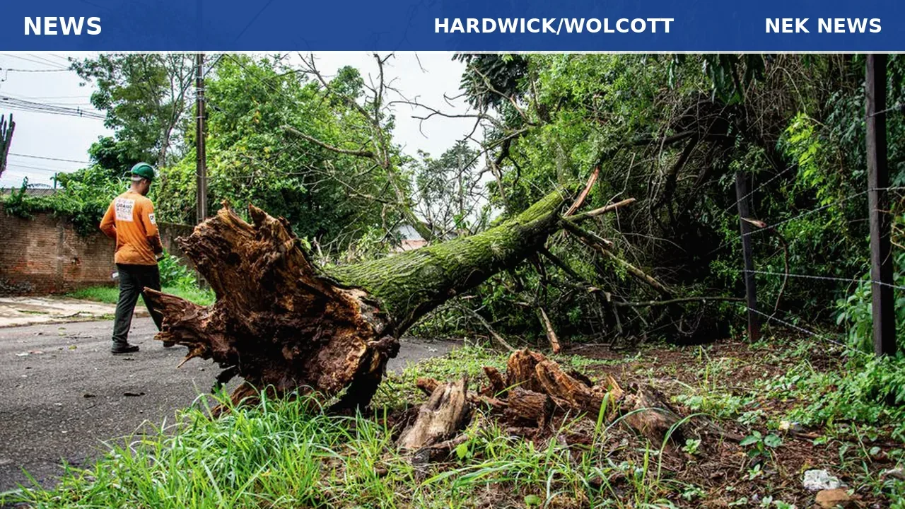
Photo: Ndumiso Mvelase via Pexels. Photo is illustrative and not from the scene.

Log in as a subscriber to comment, or become a member.