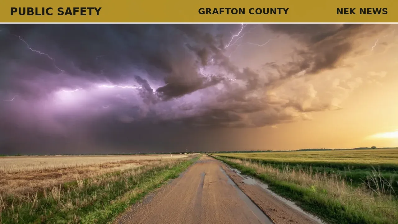
The National Weather Service in Gray, Maine, issued a severe thunderstorm warning June 18 at 2:39 PM EDT for southern Grafton County and Sullivan County in New Hampshire, effective until 3:45 PM EDT.
At 2:39 PM, severe thunderstorms were located along a line extending from near Lebanon to 20 miles west of Charlestown, moving east at 55 mph. Radar indicated the storms could produce 60 mph wind gusts, potentially causing damage to roofs, siding, and trees.
Affected locations include Claremont, Lebanon, Franklin, Henniker, New London, Plymouth, Grafton, Hanover, Charlestown, Enfield, Canaan, Holderness, Ashland, Bradford, Danbury, Groton, Newport, Warner, Marlow, and Alstead. Interstates 89 and 93 in the warning area are also impacted, as well as Mount Kearsage and Mount Sunapee.
The NWS advises residents to move to an interior room on the lowest floor of a building. Torrential rainfall may lead to flash flooding; drivers should avoid flooded roadways. A tornado watch remains in effect until 7:00 PM EDT for parts of central, southern, and northern New Hampshire.
Photo: Branden Stephenson via Pexels. Photo is illustrative and not from the scene.


Log in as a subscriber to comment, or become a member.