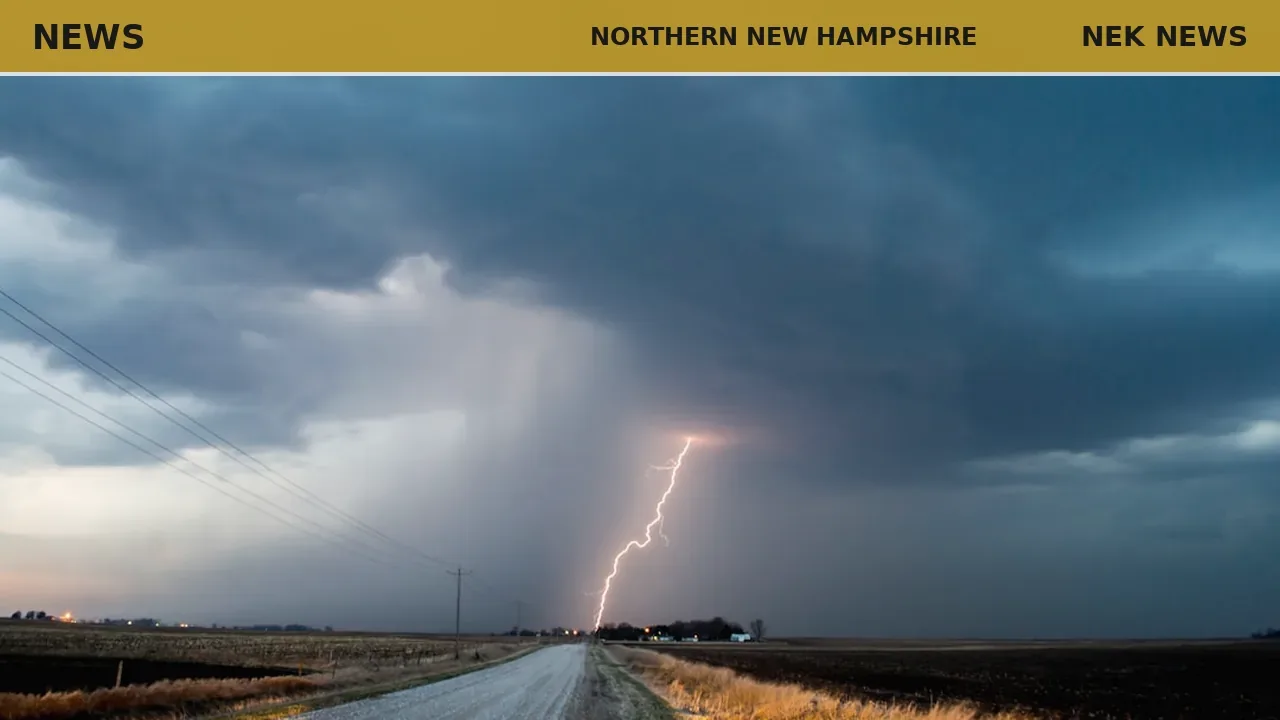
The National Weather Service in Gray, Maine, issued a severe thunderstorm warning June 18 at 3:07 p.m. for southern Coos County, Grafton County, and northwestern Carroll County in northern New Hampshire. The warning expires at 4 p.m.
At 3:07 p.m., radar indicated severe thunderstorms along a line from seven miles north of Littleton to Hanover, moving northeast at 45 mph. The storms carry 60 mph wind gusts, which could damage roofs, siding, and trees.
Affected locations include Lebanon, Berlin, Littleton, Lancaster, Bethlehem, Lincoln, Plymouth, Hanover, Haverhill, Canaan, Holderness, Franconia, Groton, Errol, Woodstock, Piermont, Mount Washington, Sandwich, Carroll, and Gorham. Interstate 93 between mile markers 81 and 131 is in the warned area, as are Crawford Notch State Park, Franconia Notch, Kilkenny Ridge Trail, Mount Moosilauke, and Rumney Rocks.
The NWS advises moving to an interior room on the lowest floor of a building and avoiding driving through flooded roads. A tornado watch remains in effect until 7 p.m. for northern New Hampshire.
Photo: NOAA via Unsplash. Photo is illustrative and not from the scene.


Log in as a subscriber to comment, or become a member.