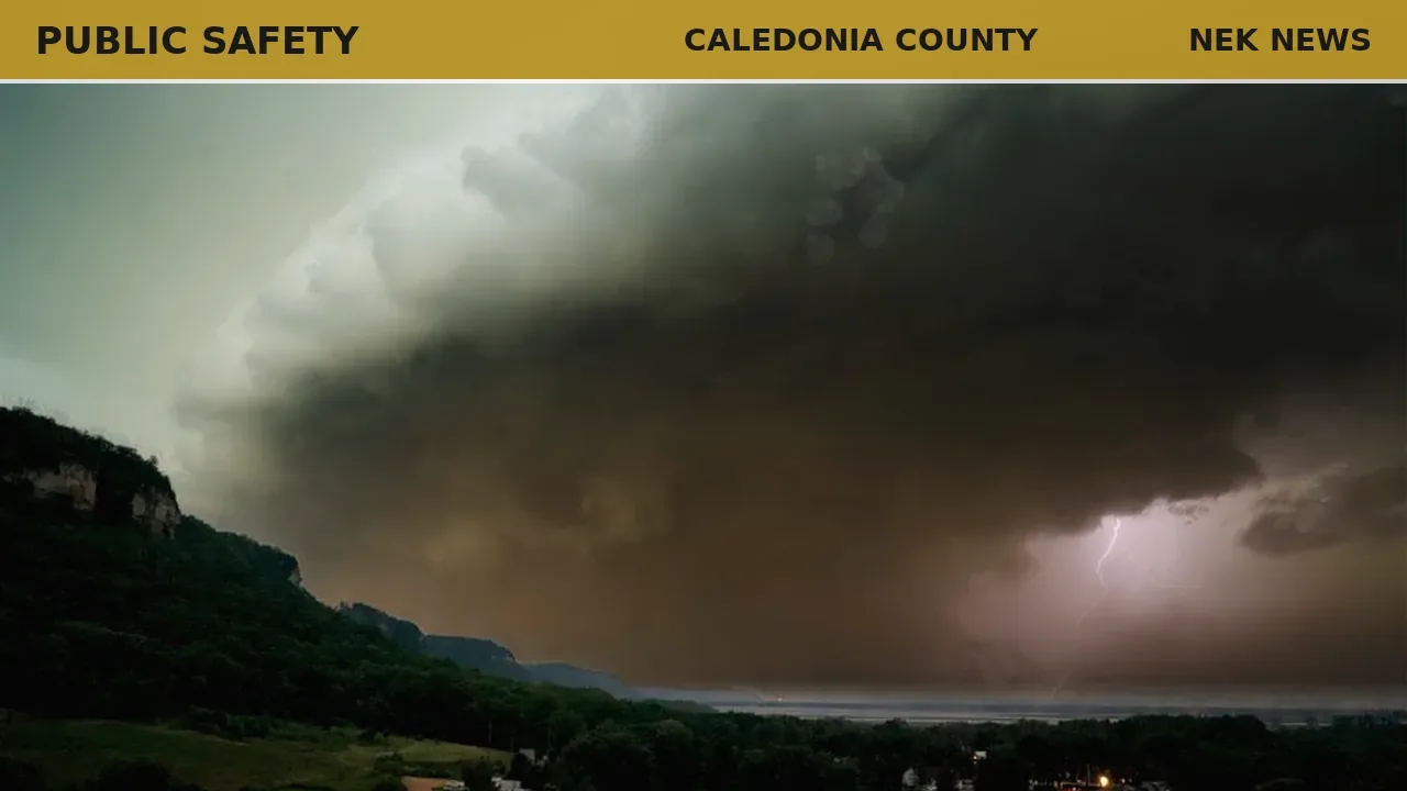
The National Weather Service in Burlington issued a severe thunderstorm warning on June 18 at 1:43 p.m. EDT for several counties in central and northeastern Vermont, including southwestern Caledonia County. The warning is in effect until 2:30 p.m. EDT.
At 1:42 p.m., radar indicated a severe thunderstorm over Lincoln, moving east at 40 mph. The storm carries wind gusts up to 60 mph, which could damage trees and power lines, the NWS said.
Affected locations include Barre, Montpelier, Calais, Plainfield, and others. Interstate 89 between mile markers 38 and 65 is in the storm's path.
The NWS advised residents to be alert for possible tornadoes and to move to an interior room on the lowest floor of a sturdy structure. A tornado watch remains in effect until 3 p.m. EDT for parts of central, northeastern, and northwestern Vermont.
Photo: Tom Fisk via Pexels. Photo is illustrative and not from the scene.


Log in as a subscriber to comment, or become a member.