A frontal boundary crossing the region Wednesday is expected to bring scattered showers and thunderstorms through midday, then a large area of high pressure will keep conditions dry through Sunday, according to weather reporter Tyler Molleur.
Temperatures will start in the 70s, with a slight increase in temperature and humidity by Sunday. Another frontal system approaches Sunday evening with a renewed chance of showers and thunderstorms.
Smoke from Canadian wildfires, which caused significant air quality concerns in recent weeks, is expected to be minimally impactful this week.
Forecast details:
Wednesday: Partly sunny, chance of showers and thunderstorms through midday. High 76, low 52. South wind around 5 mph, becoming west in the afternoon.
Thursday: Mostly sunny. High 72, low 50. West wind 5-10 mph.
Friday: Sunny. High 78, low 55. Calm wind.
Saturday: Sunny. High 82, low 58. Calm wind.
Sunday: Mostly sunny, becoming partly sunny in the afternoon with a chance of showers by evening. High 85, low 60. South wind around 5 mph.
Originally reported by Hardwick Gazette.
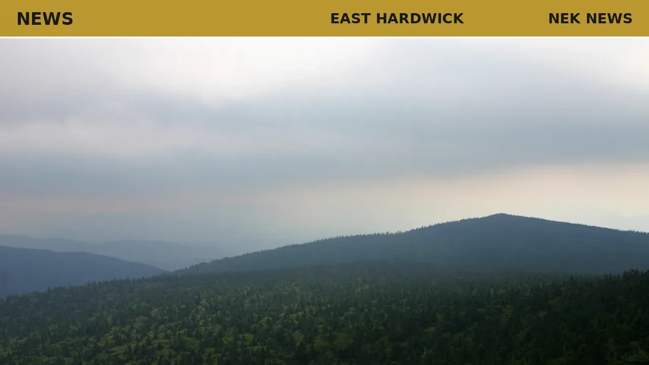
Photo: David Trinks via Unsplash. Photo is illustrative and not from the scene.



Log in as a subscriber to comment, or become a member.