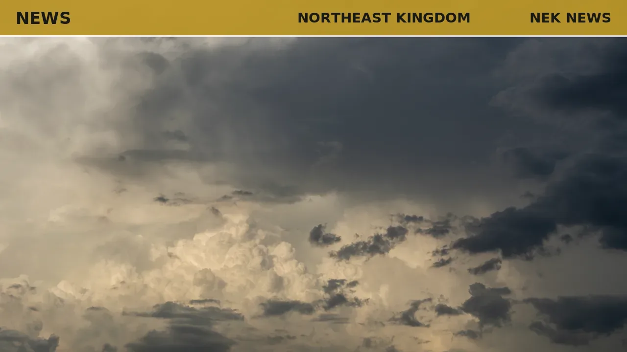
The region saw heavy rain from thunderstorms last Thursday, with most rain gauges reporting one to two inches of rainfall. Cabot recorded the highest total at 2.27 inches. Wind damage was limited to areas east of the coverage region into northern New Hampshire.
Cooler and drier conditions are expected for midweek. Wednesday will be mostly sunny and breezy, with a high near 80. A secondary cold front Thursday may bring scattered showers and thunderstorms by afternoon. Friday is forecast to be clear and comfortable, with a high of 73.
The weekend will turn unsettled as a low pressure system moves in from the Great Lakes. Showers and thunderstorms are likely Saturday afternoon, with some possibly producing gusty winds and heavy rain. Sunday is expected to start with rain, but skies may clear by afternoon. Temperatures will remain below seasonal norms.
Originally reported by Hardwick Gazette.
Photo: Justin Piggy via Pexels. Photo is illustrative and not from the scene.



Log in as a subscriber to comment, or become a member.